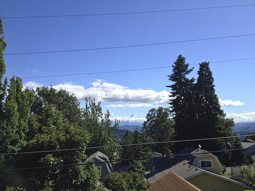
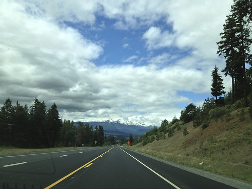
The second day was dedicated to Mount Hood. It is the highest mountain in Oregon, plus, it is a volcano, albeit a quiet one at the moment (last eruption was in 1866). With the height of about 11,249 feet(3,429 m), it has 12 glaciers and snowfields. The white conical top is visible miles and miles away on a good weather. Due to its easily accessible location, snowboarders frequent it year around.
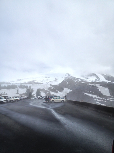
The weather was getting better, and we almost could see Mount Hood – just the top most part was covered with clouds. However, when our car began ascending it all light and the sun slowly disappeared giving way to drizzle and fog. Actually, it was a cloud, then another one, and another. When we finally climbed to the parking area at the point where glaciers begin to form, everything was covered in gray mist and the temperature dropped to almost 0 Celsius. Properly equipped snowboarders were coming and going, but we just quickly snapped a couple pictures and hurriedly got back into the car.
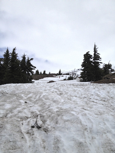
It was the end of June, so there was still plenty of day light left. Using the same road to get back looked boring, and we decided to check Oregon’s less known ways. Google Maps happily displayed plenty of roads named somewhat unimaginatively as NF-18, NF-4431, etc… Unconcerned, we traced our way on the iPhone with Google Maps app and took off. First warning came relatively quickly in a form of complete lack of internet connection. Over the next couple miles, road was got more narrow and, at some point, became unpaved. We spent so much time navigating maze of rocks and potholes that continuing forward looked more appealing.
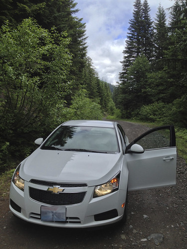
Until the road ended – well, off-road vehicle could get through, but our poor city car would be dead in a heart beat. We had no other choice but turning back. Long story short, we retraced our steps, or, shall we say, tire marks, and drove back to civilization.
