The origins of the Roman city of Baelo date to the 2nd century BC. It is situated on the Eastern part of Bolonia inlet on the Northern shore of the Straits of Gibraltar and surrounded by mountain ranges of La Plata and San Bartolome.
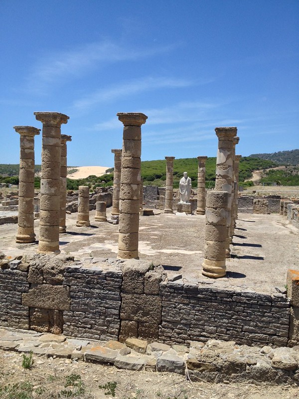
Naturally, in such location Baelo’s heritage and subsequent development are closely associated with the sailing industries and trade with the North Africa, as it was the main port to present-day Tangier. In 18 AD, Strabo, Greek geographer and historian, described Baelo as “… a port from which you normally embark for Tingis [Tangiers] in Mauritania. It’s also a trading centre that has factories for salting fish…”
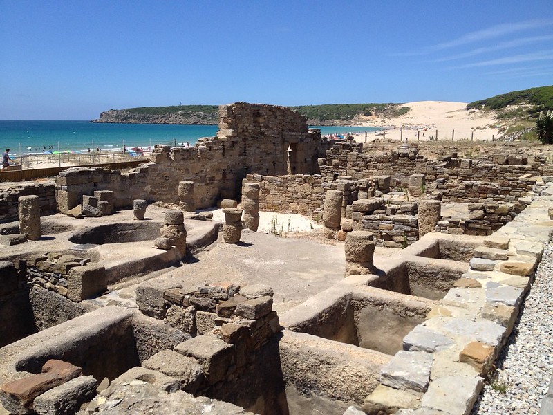
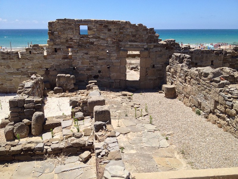
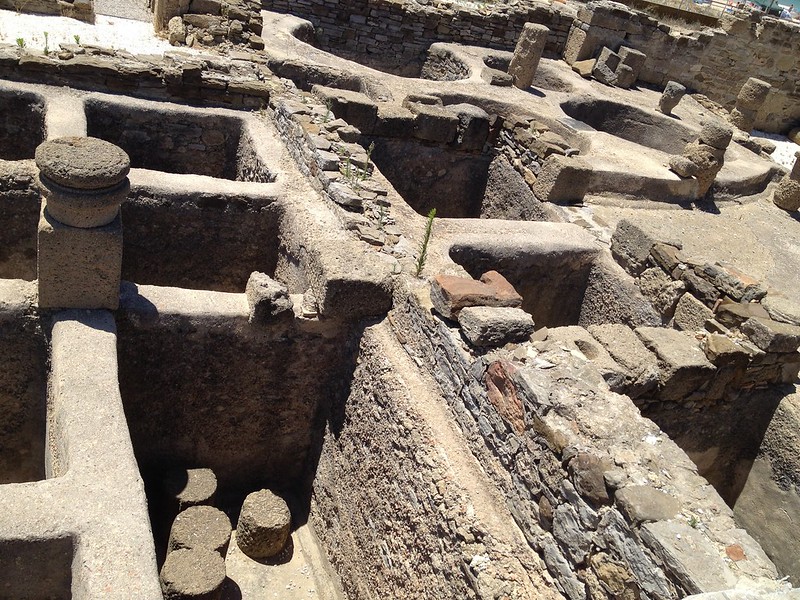
Around the dawn of the new era, the city experienced a period of urban expansion, culminating in the first half of the 2nd century AD with the construction of a large monumental forum, recreational buildings and an important salting complex, which was in fact the economic driving force of the city.
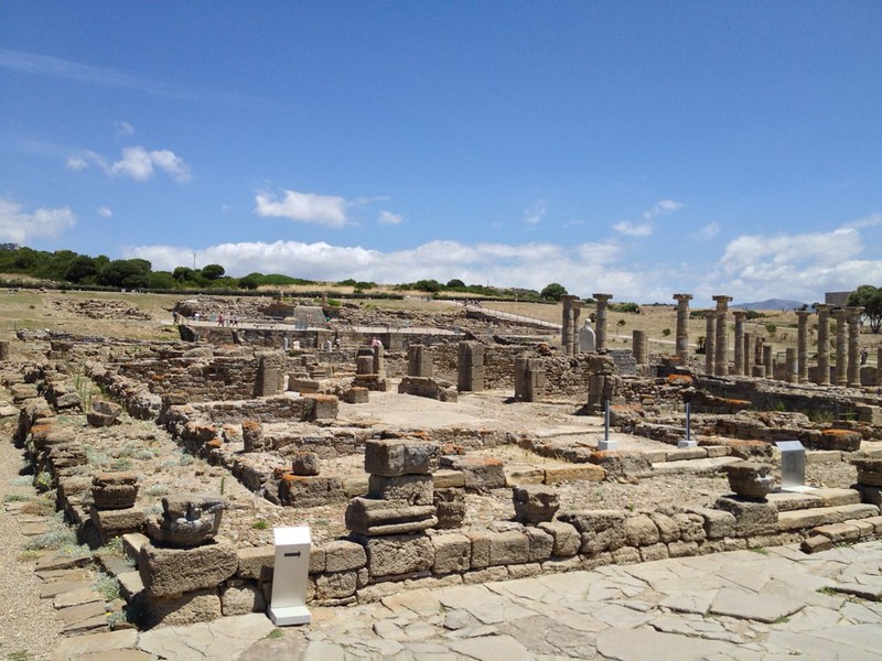
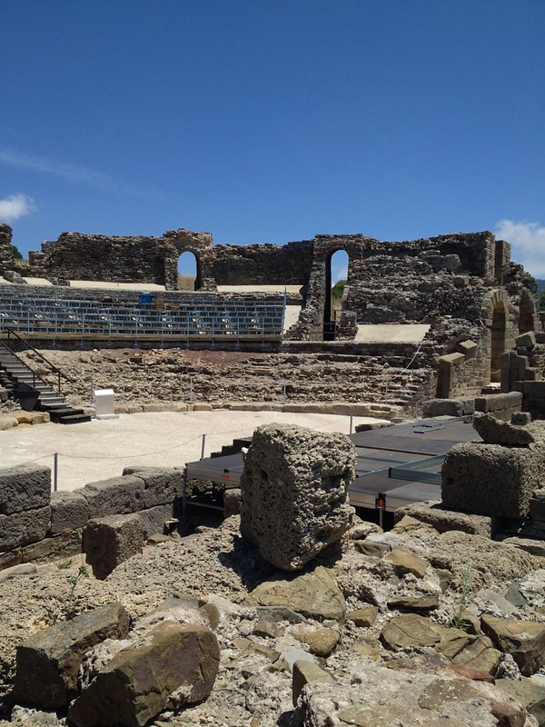
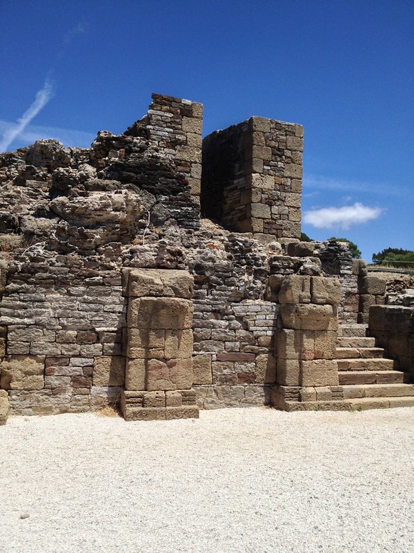
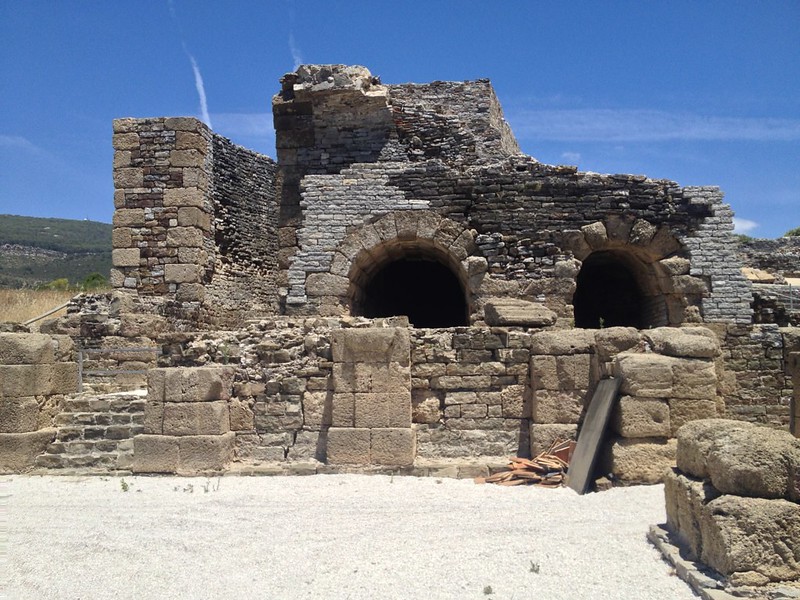
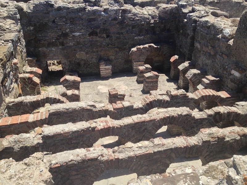
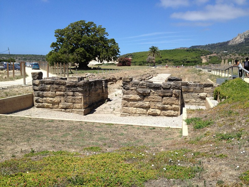
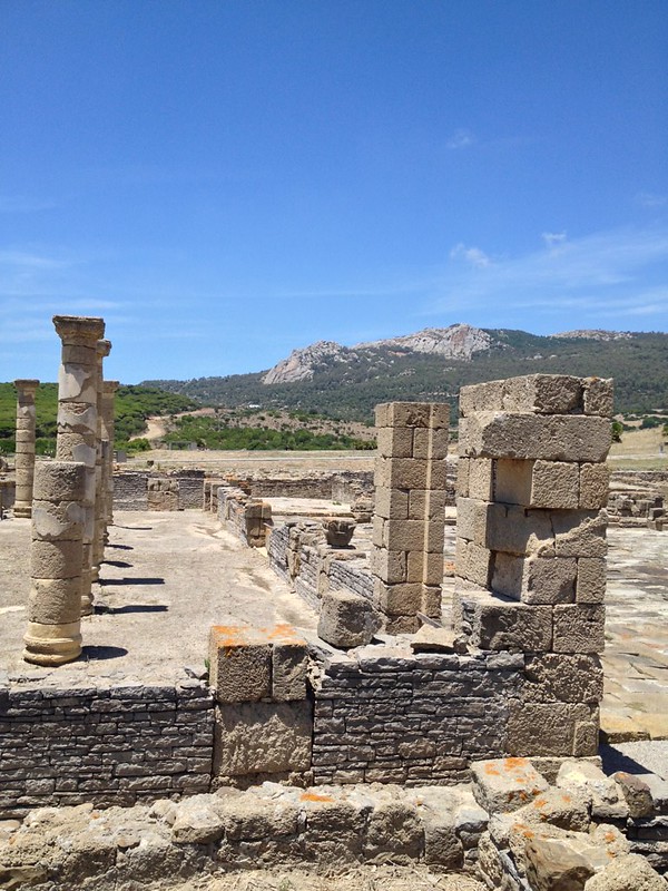
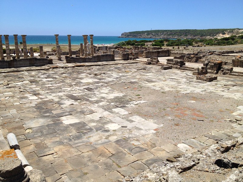
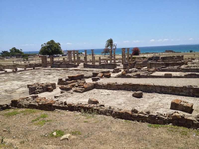
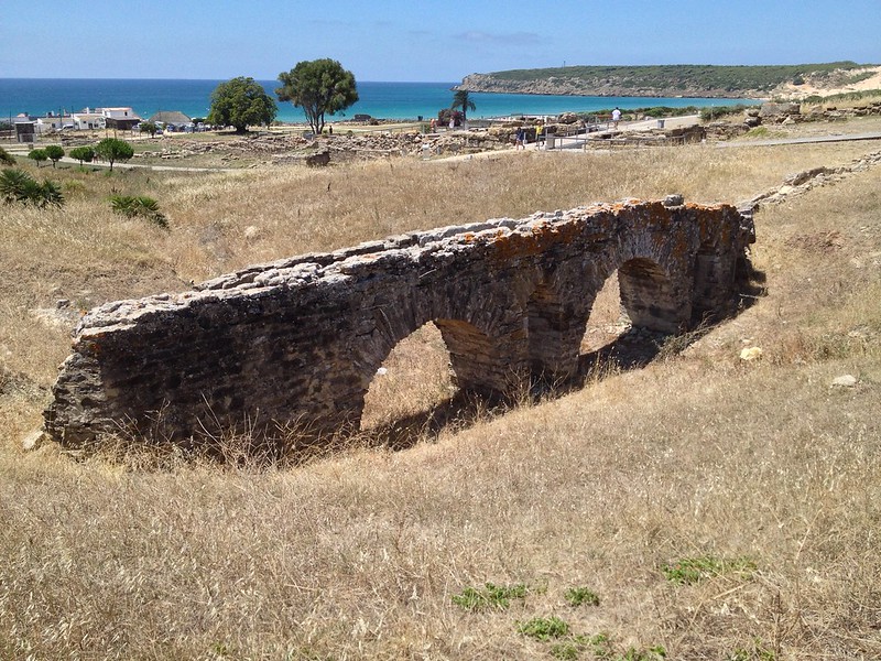
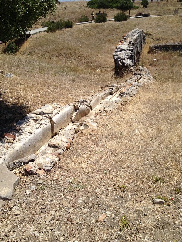
In the mid-2nd century AD, Baelo entered a process of steady decline aggravated by the earthquake, which devastated the city in the 3rd century AD. The city never fully recovered and it was finally abandoned in the 7th century AD.
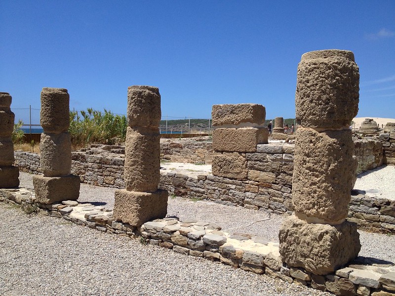
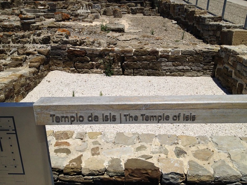
Check more photos of Baelo Claudia here.
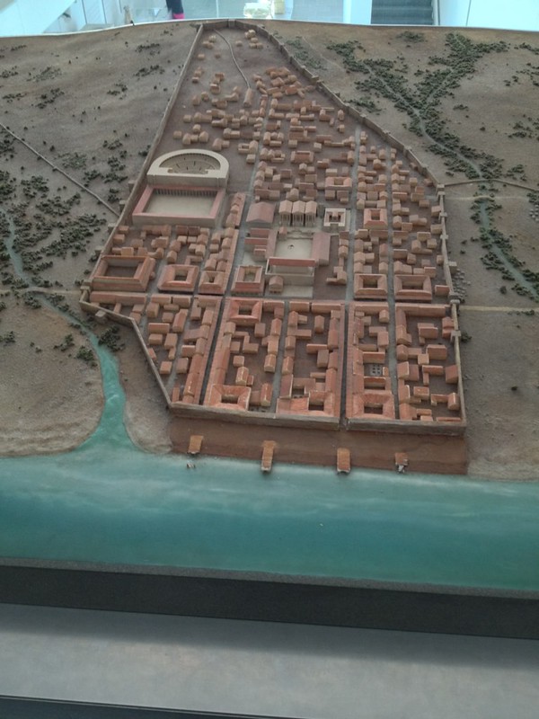
Below is the 3D model of Baelo Claudia based on archeological excavations:
Baelo Clauidia Archeological Site (Conjunto Arqueologico Baelo Claudia) on Google Maps: